Results - River Parrett


River parrett winter
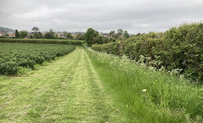
River Parrett at Bulsom Bridge

Home > Results >Parrett

The River Parrett at Martock
The River Parrett forms the western boundary of the Parish renning from the Fosse Way in the south to Kingsbury Episcopi in the north. Several small tributaries and rhynes enter the river on both sides together with one major tributary on the east bank, joining just above Gawbridge, which I refer to as Wellhams Brook because that is the name given to it by the Environment Agency

The Parrett survey looked at the whole length within the Parish over several months and includes a number of small tributaries and nearby ponds. It did not include the Wellhams Brook catchment. The detailed data can be accessed by following the link on the left.

The Environment Agency samples the Parrett routinely at Careys Mill bridge.


The main observations

1 The phosphate level in the river Parrett is consistently poor/bad
The Parrett shows a consistently high level of phosphate pollution of around 0.5 to 1.8 ppm, higher in summer when water volume is lower. The river level at Gawbridge is shown in the data. The Parrett itself has little influence on the amount of phosphate in its water, it serves mainly as a means of transport of the nutrient downstream.

2 Sewage effluent from Martock and South Petherton raises the phosphate level by between 10% - 50% according to season
The sewage treatment works at South Petherton contributed around 0.1 ppm (25%) to normal flows via Lambrook Brook (measurements in March taken above and below the division of the river into its two streams above Gawbridge Mill)

The sewage treatment works at Martock flows into the Parrett just downstream from Gawbridge and raises the phosphate level in the river at winter flow by around 0.07 ppm (13%) in winter but 0.9 ppm (50%) when the water level is lower in May.

Neither of these Sewage Treatment Works has a phosphate removal stage.

3 Small Moor Brook is a small unpolluted stream joining the Parrett in the south of the Parish
Water draining into the Parrett from Cripple and Ringwell Hills in the south of the Parish enters the Small Moor Brook. Phosphate is routinely part of the field fertiliser which is frequently solids or liquids from the Witcombe dairy slurry often spread several times a year. The fields, however, are generally cultivated in line with DEFRA guidelines with substantial margins (around 6m), by all the farmers concerned, via deep land drains in some fields and also via three substantial ponds (see pictures below). Critically, none of the three irrigation retention ponds that feed the brook, or Small Moor Brook itself showed detectable raised phosphate levels. See below.

4 Water from the main tributory of the Parrett, Wellhams Brook, has little influence on Parrett phosphate concentrations..
The phosphate concentrations leaving Wellhams Brook into the Parrett is moderate to poor and varies with the seasonl, peaking in spring when field run-off is most significant. By the time water from this catchment reaches the Parrett, its phosphate content tends to be of the same order as the river and so has little impact.

Links

Environment Agency sampling
The Environment Agency sample the Parrett monthly at Careys Mill. Martock. Their results are here and show a roughly repeated annual pattern with phosphate levels varying from around 0.2 to 0.6 ppm.

Data
Download the full Parrett data here, xlsx file

Survey scale used

High
Good
Moderate
Poor
Bad

<0.04 ppm
0.04-0.07 ppm
0.08-0.19 ppm
0.20-1.00 ppm
>1.00 ppm

This scale is adapted from recommendations of the UK Technical Advisory Group of the Water Framework Directive (Phosphorus Standards for Rivers, 2013)

Data map
A data map showing the location of all measurements is here


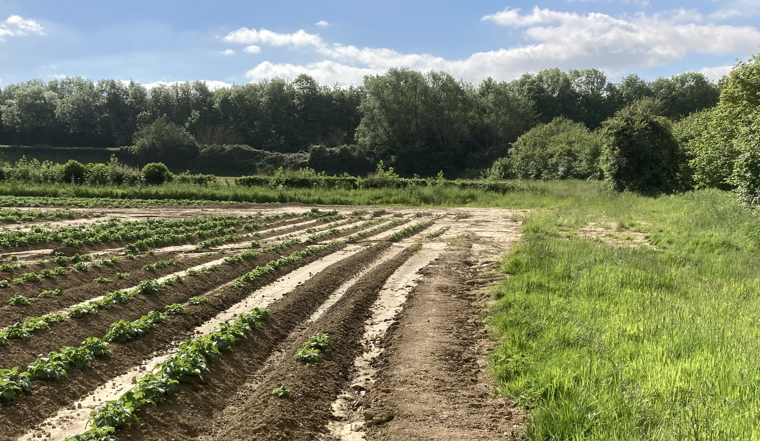
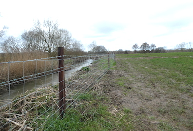
The catchment area of Small Moor Brook in the south of the Parish.
Small Moor Brook does not show significantly raised levels of phosphate despite routine use of phosphate fertiliser

Potatoes
Stoke Hay crop

Looking downhill in a potato field after a heavy flash May storm. The margin was sufficient to contain considerable topsoil run-off.

Cultivated fast growing hay just after the first crop at the end of May. The margin shows little growth compared with the field because it had not been fed with slurry.. There is a ditch beneath the hedge at the other side which is part of the higher reaches of the Small Moor Brook catchment. The second application of slurry was applied days after this photograph and the margin was not touched.

Retention Pond margins

This is one of three irrigation retentioin ponds fed by the Small Moor Brook catchment. It shows a small amount of blanket algae (June21). Its phosphate levels are undetectable (<0.03ppm). It overflows into the River Parrett which is about 50m from the far edge.

The Margin between the maize crop and the River Parrett to the right,is around 10m. Trees have been planted between the margin and the river. Small Moor Brook drains the left side of this field behind an 8m margin.

Currants  

Soft fruit farming adjacent to the upper reaches of Small Moor Brook in Stoke sub Hamdon. A wide margin is maintained.


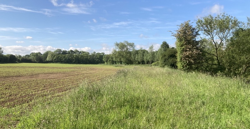
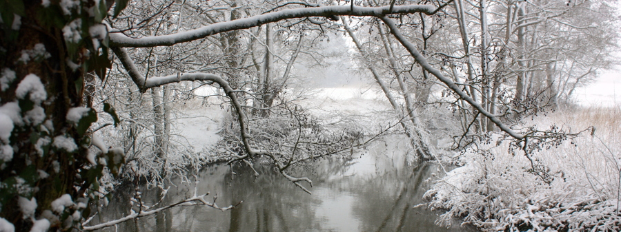
The River Parrett below Gawbridge
Downstream in the north of the parish, a very different farming pattern has become recently evident. The previously wide margin along the river has been ploughed and much scrubland and some trees on the river bank has been removed.


The view below shows the Parrett just north of the confluence with Hinton Meads Brook at Gawbridge. The field has this season expanded into what was a wide margin and Right of Way. Scrub and trees on the river bank have gone. Walkers are re-establishing the footpath next to the new fence

The picture below shows detail of the Parrett margin a little further downstream showing the application of herbicide onto to the newly cultivated Parrett margin in places. The RoW was remade right up to the river after its original route was ploughed.

Parrett Gawbridge
Field edge