The Yeo from Ilchester to Langport
Witcombe Bottom Main Drain in a morning spring mist. All the rhynes for two kilometres upstream of Long Load drain into this. It is pumped automatically into the Yeo at Long Load Pumping Station. Very variable phosphate concentration, 0.2 to 1.2 ppm
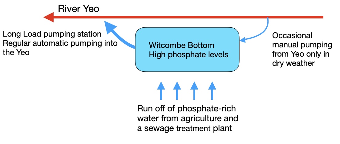
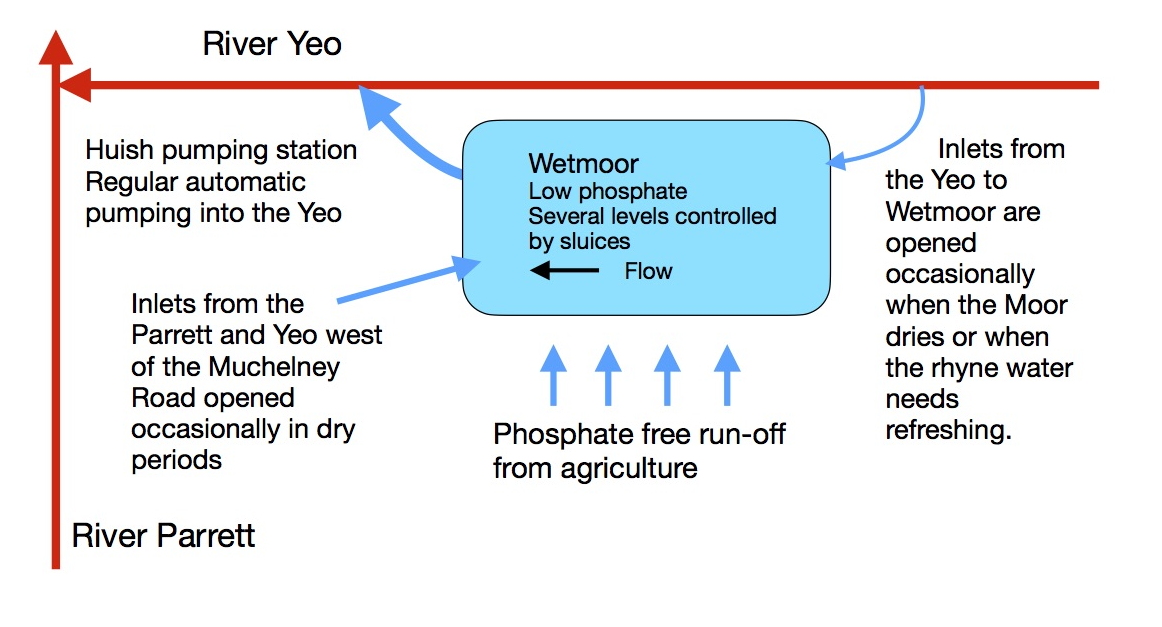
Witcombe Bottom and Wetmoor Both Moors fill from streams and ditches from slightly higher ground to the south. This water accumulates after flowing through a rhyne network in two main drains, Witcombe Bottom and Long Load Main Drains. These both flow down to the slightly lower west end of each Moor where they are pumped up into the Yeo. There are manually operated sluices that can allow water to flow onto both Moors from the Yeo if they become too dry in summer. These are opened when the Moors dry or to 'freshen' the rhynes. Essentially the water flows one way only - down to the lowest point of each moor–the north-western corner– and then up into theraised river Yeo through pumps. |
|
|---|---|
Witcombe Bottom hydrology
Water entering the Witcombe Bottom Moor comes from the higher land to the south. It eventually flows into Witcombe Main Drain in Witcombe Bottom from where it is automatically pumped up into the Yeo at regular intervals. In normal operation, no water from the Yeo enters this Moor |
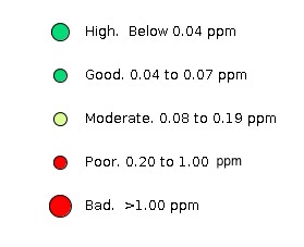
Data Map (Does not open correctly in Safari) Map legend |
The phosphate concentration in the Yeo has consistently remained around 0.4 to 0.5 ppm for the last year. The concentration of phosphate in the Main Drain at Witcombe Bottom is variable and dependent on the two sources. One source, however, Tintinhull STW, has a roughly constant outflow and hence the variability is likely due to Witcombe Dairy, a large enclosed unit producing seasonally variable concentrations of phosphate in several rhynes. The rhynes further east of these two sources significantly show barely detectable phosphate. |
Data File |
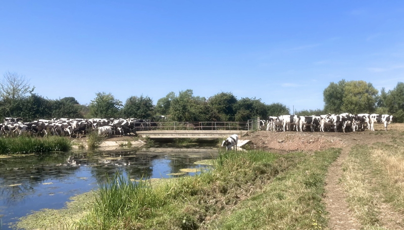
Witcombe Bottom during the summer
|
|
Wetmoor hydrology
Water is fed onto the Moor from the Yeo from time to time via sluices near Long Load to maintain the required level and also to refresh the Moor rhynes by creating some water movement. There is some flow into the Moor from the west (west of the Muchelney-Langport road) which is fed in summer from the Parrett near Muchelney Lakes. This collects in Thorney Moor Main Drain just south of the Yeo at Langport. This joins Long Load Main Drain just before the pumps. The volume of water flowing onto the Moor in summer from the Yeo and Parrett is very small compared with the total flow in these two main rivers (no exact figures are available). |
|
Long Load Main Drain showed barely detectable phosphate throughout its length when the inlets are closed (winter). When the inlets are opened water wih a high phosphate level is let into the moor. Testing shows that this concentration reduces as the water spreads out through the moor rhynes. This could be caused by dilution but the evidence from spring 2022 suggests that the excessive phosphate coming from the Yeo is removed by growing plants in the rhynes and possibly also by the sediment. This mechanism is commonly observed elsewhere, most obviously in the Stourhead study and the ponds of Martock The Thorney Drain brings water from the south w around Muchelney which in summer includes water from an inlet from the Parrett. This drain was free of phosphate in May but by July showd a concentration of around 0.8ppm, by which time the concentration in the Parrett which was feeding the Moor was very high indeed at around 2.5 ppm. |
|
Pump outflows |
Real time pump data |
Comments |
|
| Last modified 10/10/22 |